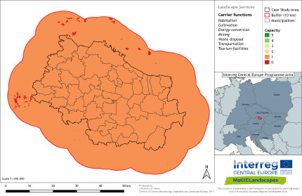
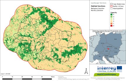
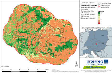
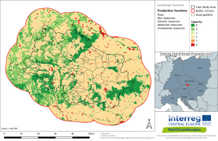
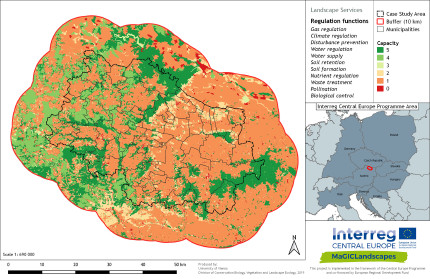
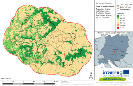
Green Infrastructure Functionality Maps Eastern Wald- & Western Weinviertel incl. Thayatal National Park
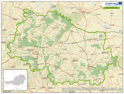
Case study area map Eastern Wald- & Western Weinviertel incl. Thayatal
Back to WP2 FUNCTIONALITY ANALYSIS | WP2 OVERVIEW | CASE STUDY AREA | MAIN PAGE
