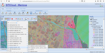
Limits of GIS systems
At present, the most of Geographic Information Systems are managed through GIS software difficult to understand by non-technicians and non-GIS-experts. It is uncommon for people to own GIS software, to be able to use it and to implement it with data.

Mantova's SIT is rich of information but it is hard to understand for a non-GIS-expert.
B.h.EN.E.F.I.T. rises the challenge of overtake these limits. It is determined to detect and test ICT solutions able to extend the number of GIS systems' users, including non-technicians, to support the confrontation between different people and departments.
Make GIS systems user-friendy means not only to simplify the planning procedure but also to built a context where the different knowledge interact through debate (Campagna M. 2004).
- Campagna, M. (2004). Le tecnologie dell'informazione spaziale per il governo dei processi insediativi. Milano: Franco Angeli Editore.
