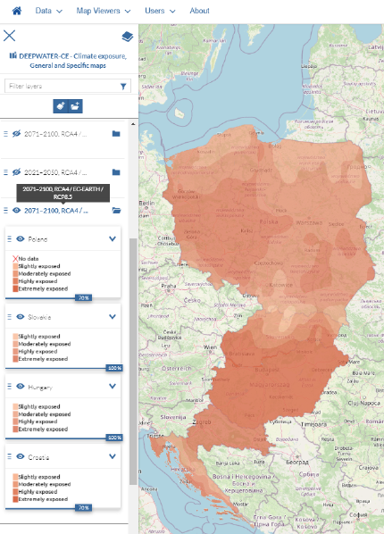
The climate exposure maps
Within the DEEPWATER-CE project, a decision support toolbox was developed on designating potentially suitable Managed Aquifer Recharge (MAR) locations in Central Europe (output O.T2.1,DEEPWATER-CE, 2020b).
The methodology chosen for the investigation of a potentially suitable MAR location was a site selection, based on the criteria such as climatological, hydrogeological, geological, and criteria to identify the sensitivity of the MAR scheme to extreme climate events (e.g., floods or droughts). These criteria are spatial and can be depicted on maps.
As part of the work on WP T3, a set of maps for the four partner countries (HU, HR, SK, PL) was created. It contains the climatological maps as well as MAR suitability maps, representing the areas potentially suitable for implementing MAR methods.
Suitability maps are created in two levels of detail: general and specific.
The general maps include a spatial resolution of potential suitable MAR sites in the partner countries, on country or regional level (with the subdivision of suitable and non-suitable sites).
The specific maps go one step further and focus in greater detail (the subdivision of low, moderate and high suitability) i.a. on hydrogeological and geological aspects of the regions, which were identified as potentially suitable on the general level.
In order to provide sustainability and disseminate the work of our project, the general and specific maps are provided in the Global Groundwater Information System (GGIS) database of IGRAC (https://ggis.un-igrac.org/).
Based on these solutions, all prepared maps will be easily accessible for the stakeholders from Central European and other countries interested in MAR via a web portal.
You are welcome to use the map server!

